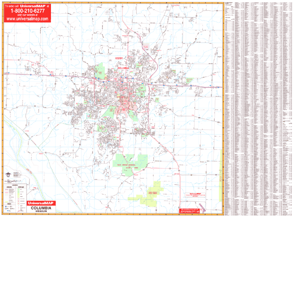
The Columbia, Missouri Wall Map by Kappa Map Group features complete street detail with boundaries north to Brown's Station; south to Sapp and Three Creeks State Forest; east to exit 133 of I-70; and west to exit 117 of I-70.
Shows all streets/highways, government buildings, airports, golf courses/country clubs, railroads, longitude/latitude lines, ZIP codes/boundaries, shopping centers, recreational parks, mileage circles, cemeteries, educational facilities, hospitals, post offices, city limits and annexations, fire/police stations, and more points of interest.
Measures 54 by 40 inches, lithographed in 8 colors, laminated, and indexed on the face of the map. Framing rails are included on top and bottom for easy wall mounting. Railed wall maps can be turned into pull down maps on spring rollers for an additional $30.
Year: 2000
Edition: 1st
These maps are printed and finished to order. Please allow 4-6 weeks for delivery.