Menu


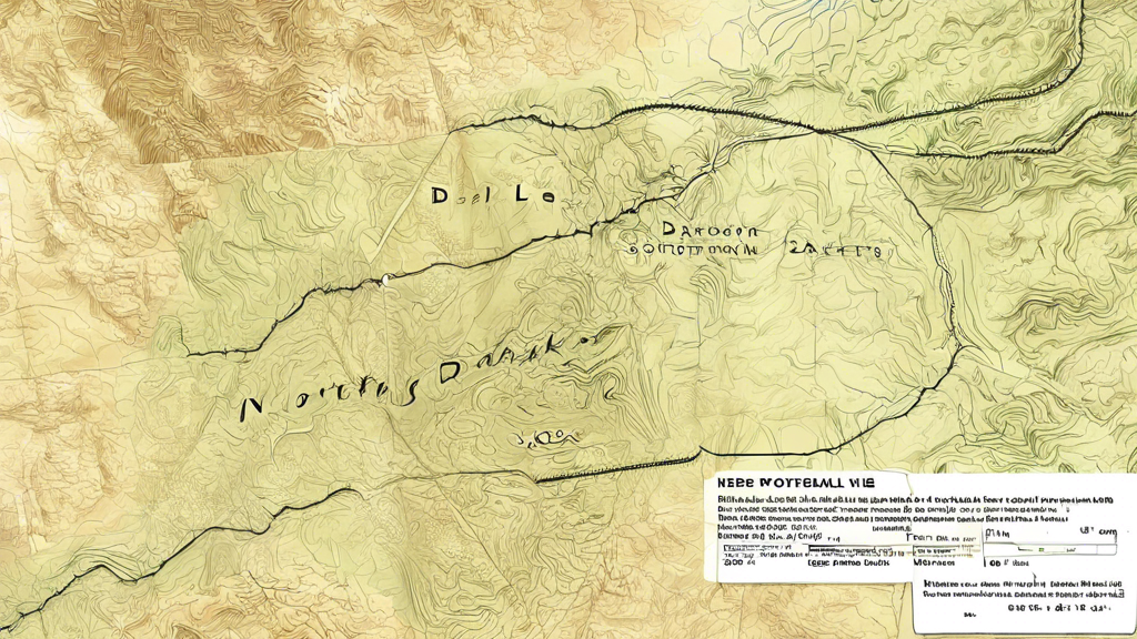
Stretching from the rolling prairies of the Red River Valley in the east to the rugged Badlands in the west, North Dakota's landscape is a tapestry of diverse and captivating terrains. With its vast expanse of land, navigating this Northern Plains state requires a comprehensive understanding of its geography and a reliable map.
The Red River Valley, a flat and fertile region along the eastern border with Minnesota, is the heart of North Dakota's agricultural industry. This area is characterized by rich farmland, dotted with small towns and rural communities. As you move westward, the terrain gradually transitions into the Missouri Coteau, a hilly region formed by glacial activity during the last Ice Age.
Winding its way through the central part of the state is the Missouri River, a vital waterway that has played a significant role in the state's history and development. Along its banks, you'll find the state's two largest cities, Fargo and Bismarck, as well as numerous recreational opportunities, including boating, fishing, and camping.
In the western region of North Dakota lies the breathtaking Badlands, a rugged and otherworldly landscape sculpted by wind and water erosion over millions of years. This area, centered around the Theodore Roosevelt National Park, is characterized by buttes, canyons, and colorful rock formations that offer a unique and awe-inspiring experience for visitors. Navigating the Badlands requires caution and preparation, as the terrain can be challenging and remote.
North Dakota is also home to several Native American reservations, including the Standing Rock Sioux Reservation, the Turtle Mountain Chippewa Reservation, and the Fort Berthold Reservation. These lands hold deep cultural and historical significance, and navigating them requires respect and understanding of the local customs and traditions.
Whether you're a seasoned explorer or a first-time visitor, navigating North Dakota's vast terrain requires a comprehensive map that highlights the state's diverse regions, major highways, and points of interest. With careful planning and a spirit of adventure, you can experience the beauty and majesty of this unique and captivating state.